


Hiking the South Kaibab Trail to Cedar Ridge at the Grand Canyon
As soon as we got started planning our trip to the Grand Canyon, we immediately started researching hiking down into it! Our first priority in planning this trip was to pick the “big” hike, even though we knew we didn’t have the time to backpack down in the canyon on this trip. We chose Kaibab Trail after reading a few other blogs and resources online since it tends to be less crowded, less icy, and as scenic as can be. We were thrilled to be in the park in February (pre-COVID19), so the weather was fantastic for hiking - a slight breeze, cool temps, and warm sun.


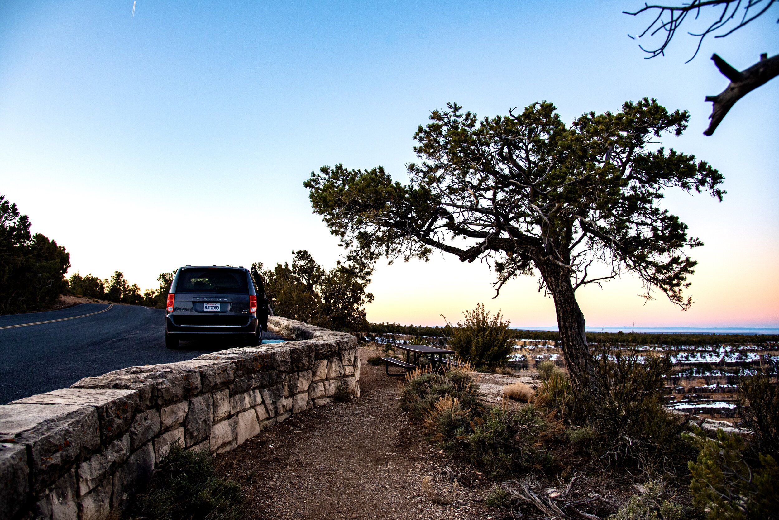
We started the hike with a very early morning breakfast at our campsite and then a quick shuttle ride to the trailhead. The South Kaibab Trailhead is only accessible by the Park Shuttle, which we caught at the Visitor Center. After our shuttle ride, we approached the trailhead and immediately noticed the switchbacks, and the ice that sparkled on them! There were a few other groups preparing for the hike down on the icy switchbacks and some of those others were putting spikes on their boots to deal with the ice, but we just had our good hiking boots and trekking poles to keep us from slipping down the trail!
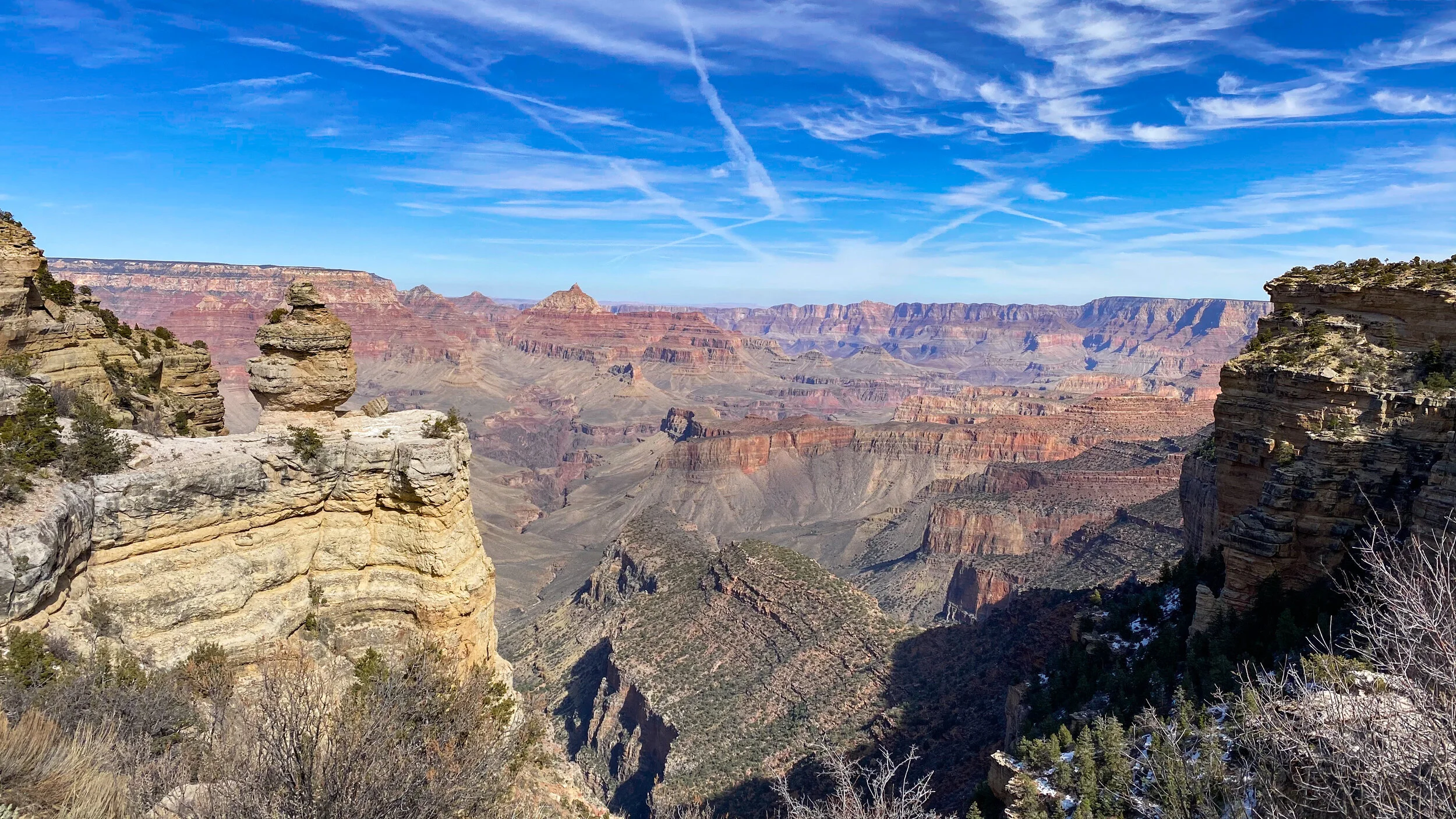
The first portion of the trail is switchback after switchback, taking us quickly into the canyon where the views just got better and better. The ice was only a factor on the first few shaded switchbacks, and as we got into more sun, we had a dry trail to follow. Switchbacks eventually gave way to straighter sections of trail, and it is hard to describe how beautiful this hike was and continued to be.
Our first break was very quick at Ooh Ahh Point, at just under a mile into the trail. This is the first marked spot along the trail where a lot of our fellow day hikers were turning around to head back up to the rim. The views here are amazing panoramic looks at the massive canyon, and really are worthy of a solid “ooooh” and “ahhhh”. We didn’t want to end our hike here, even though we knew the further in we got, the more difficult the hike out would get. Our goal was to make it down to Cedar Ridge and it was still early and cool, so we kept going!
We had a big surprise as we were hiking, just after Ooh Ahh Point, a Bighorn Sheep suddenly caught our eye on the side of the trail. Once we saw it, we noticed a couple of others nearby! It’s incredible to see these animals grazing along these cliffs like they aren’t almost sheer drops into a huge ravine! We kept moving so they had all the space they needed on their very steep ledges!


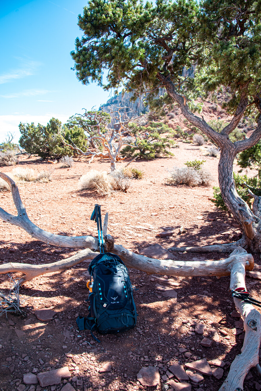
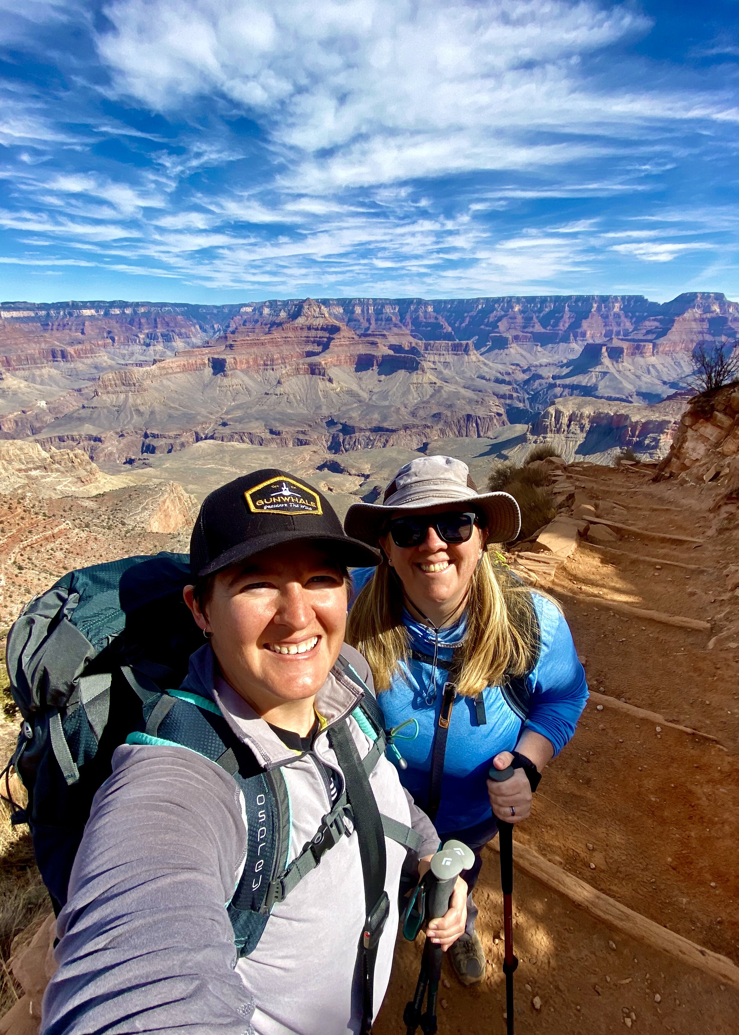
The trail got a bit more interesting after Ooh Ahh. The trail starts to have sections of staircases made of dirt, rocks, and logs. The trail also continues out onto a ridgeline, so the views open up on every side, including down on both sides! It truly feels, in places, like the trail is just precariously balanced on top of the ridge, and it’s a pretty straight drop on both sides. The views get better and better as the trail goes along, with infinite cliffs and crags at every angle. The trail soon led to Cedar Ridge, a total of 1.5 miles from the trailhead, and offers a nice place to take a break. We had some snacks and water here, sitting under the shade of a small tree, and watched some mules and riders make their way along the trail. There is a primitive style toilet here, but no running water or trash receptacles - this is a pack it in, pack it out trail.
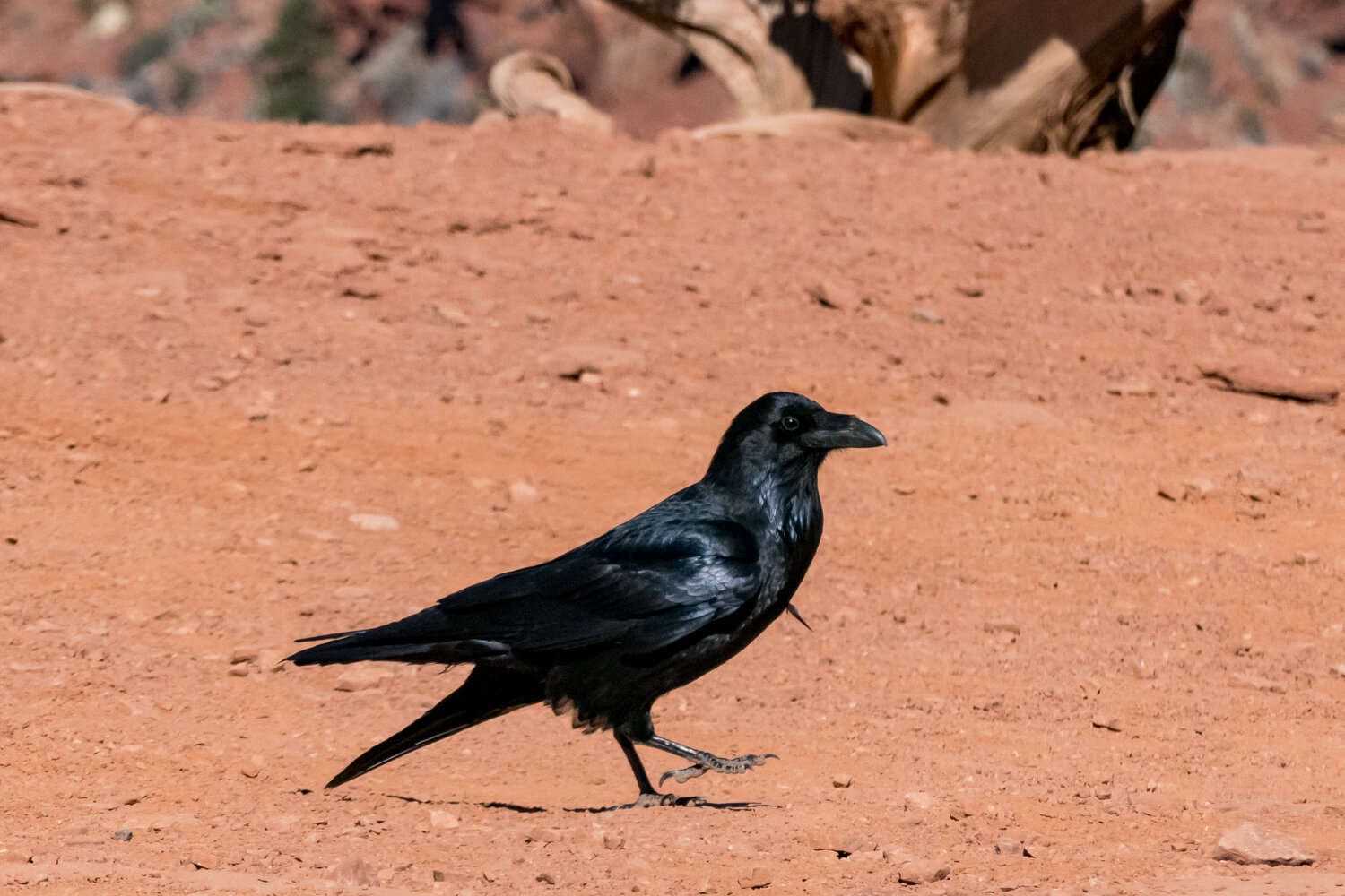
As we were sitting and enjoying the views, the most dreamed of moment happened for Andrea. Two very large black flying objects appeared in the sky, at first, looking like airplanes to me. Andrea quickly corrected me realizing that these were the California Condors she was so badly hoping to see. Excitement over seeing these very rare, very large, and very beautiful birds soar over our heads was enough to fuel the rest of the day, especially that steep hike back out of the canyon.


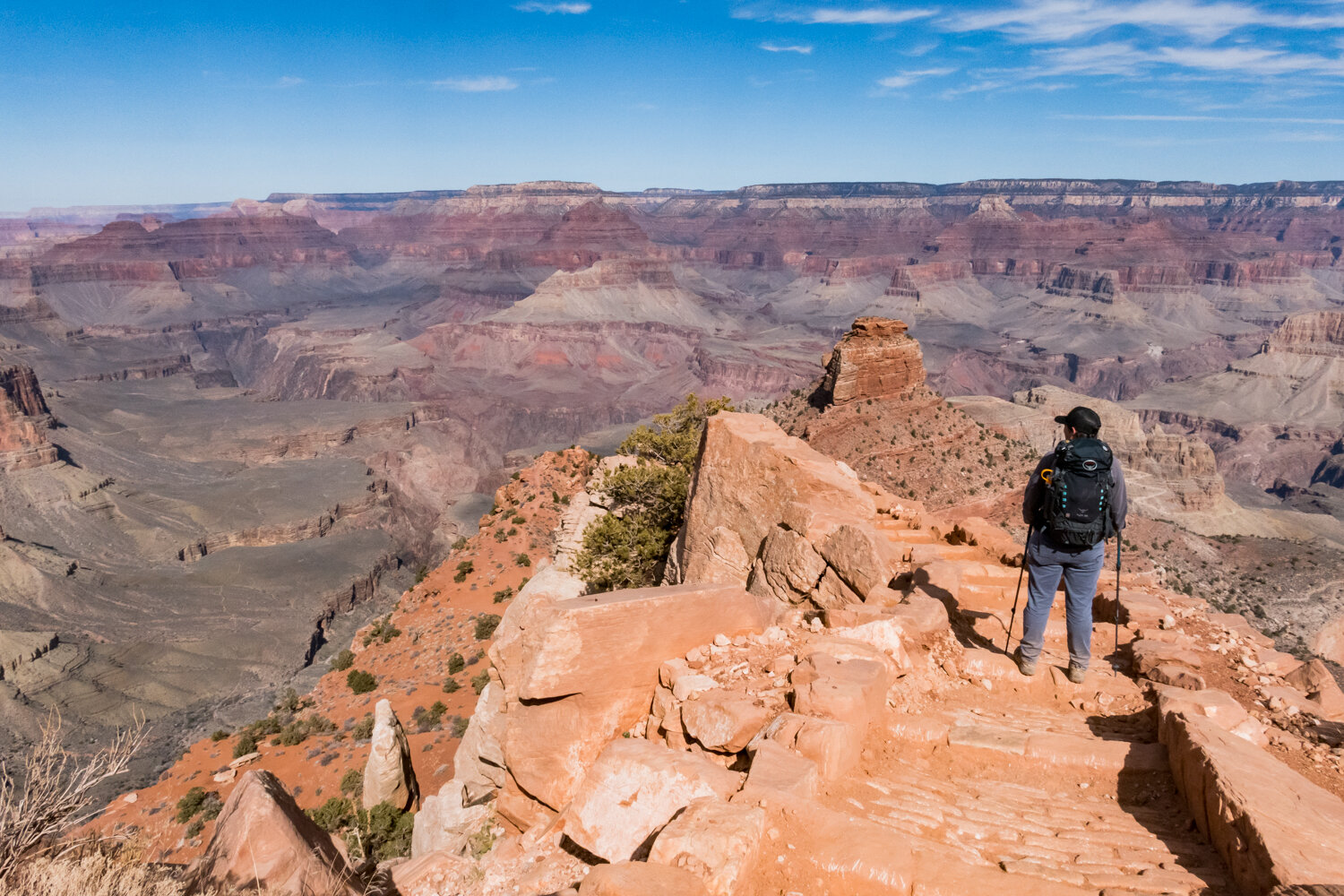


Before starting the hike up, we enjoyed roaming around the edges of the vista and taking in the amazing views on every side. The most stunning thing, other than how beautiful this canyon is, is that after walking a mile and a half, or 1,200 feet down, the bottom is still sooooo far away. We did consider continuing on to Skeleton Point which is the next marked turn around spot at 3 miles from the trail head, but decided to go back up instead of continuing into the canyon. Our next trip will likely have us going further, maybe even all the way down to backpack along the river.


They are definitely not kidding when they say it’s harder to get out of the canyon than in. We enjoyed a very easy walk down Cedar Ridge. On the way back, it’s literally up, climbing out, and it’s a lot more work!
While it was much slower going up than down, it wasn’t too bad, thanks to the temperatures staying cool, even with the sun shining. I would definitely not want to try to hike any of the canyon trails in the summer! This hike was definitely one of the most scenic ones we’ve been on, and we already can’t wait to do it again someday!


You can find more from our time in the Grand Canyon on two other blogs: